
Surveys
2011
The first survey in the framework of the case study Birka-Hovgården was conducted between May 23rd and June 9th 2011. The central settlement areas as well as the fields to the south across the assumed continuation of the town rampart between Hemlanden and the hillfort and beyond were mapped with high-resolution georadar and magnetometer measurements. Magnetic susceptibility measurements were conducted with a handheld kappameter. Visitors to the island were daily informed on the project and latest results through a dedicated information booth in the field.
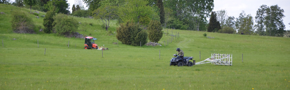
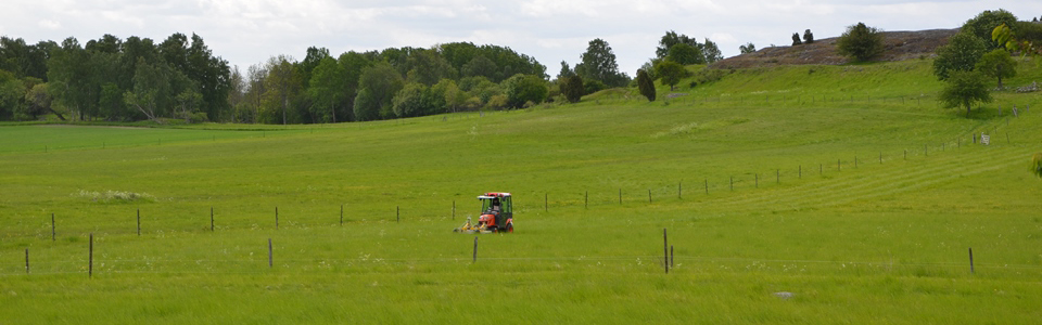
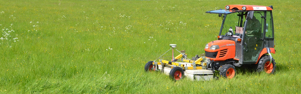
In September 2011 another fieldwork campaign was conducted for two weeks on Björkö in order to map those areas that had been inaccessible earlier due to vegetation or ground nesting birds with high-resolution georadar measurements. Over the course of 23 days in total 38.3 hectares of area were covered with high-resolution GPR measurements and 21.5 hectares with magnetometer prospection on Björkö in 2011. The data show a large number of archaeological structures. The thick and complex archaeological stratigraphy in the central Black Earth area of Birka renders the interpretation of the data challenging and time consuming.
In December 2011 a high-resolution full-waveform airborne laser scanning survey was flown by LBI ArchPro partner Airborne Technologies covering the entire island of Björkö and the southern part of Adelsö, generating a very high-resolution digital terrain model.
2013
Between June 5th and 26th 2013 a further comprehensive archaeological prospection fieldwork campaign was conducted on Björkö and Adelsö, covering the archaeological site of Hovgården with magnetometer and georadar measurements, completing the magnetic survey on Björkö and mapping areas on Björkö that were inaccessible with motorized devices using manually operated georadar systems.