

Surveys
2011-2012
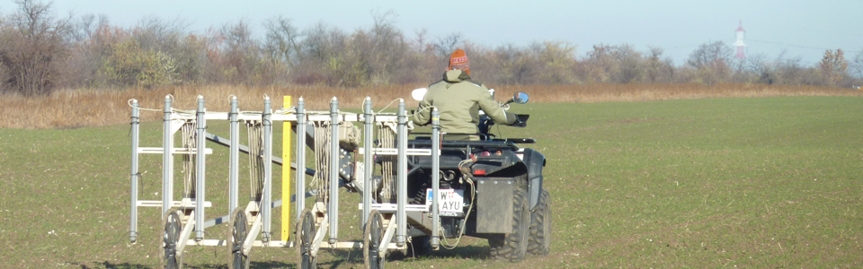
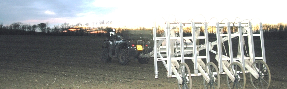
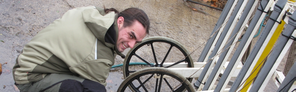
In the winter months of 2011 and 2012 large-scale geophysical archaeological prospection was conducted covering come 2 km2 with high-resolution geomagnetic and GPR measurements in 2011, and some 90 ha of geomagnetic survey area in 2012. Several motorized magnetic prospection systems were used, equipped with 8 or 10 Foerster gradiometer probes in combination with Eastern Atlas AD converters and the LoggerVis data recording and navigation software. These magnetometer systems permit a spatial measurement resolution of 25 cm crossline and 10 cm inline. The sensors were mounted on nonmagnetic carts and precise RTK-GPS antennae were used for data positioning and navigation.
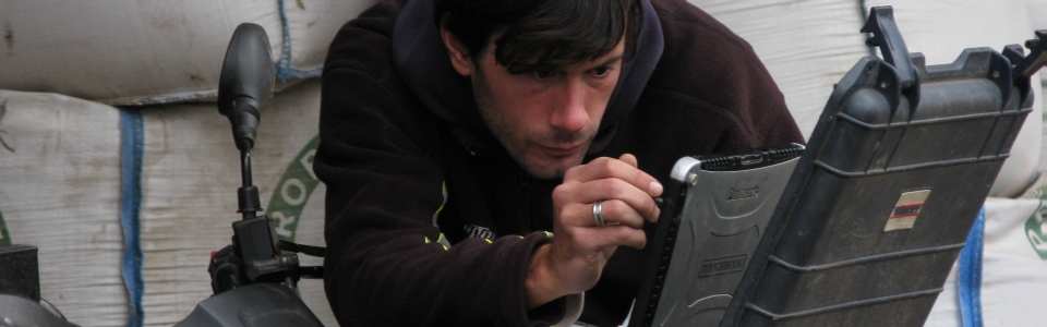
High-definition GPR measurements were carried out with the 16 channel 400 MHz MALÅ Imaging Radar Array (MIRA), permitting a dense sampling of 8×8 cm GPR trace spacing. For the positioning of the GPR data a Leica RTK-GPS was used and navigation was based on visibility of the driven tracks and the LBI ArchPro LoggerVis navigation solution.