
Methods
To build up a workflow, the test-quadrant j/21 measuring 15×15 m was chosen from the TED area F/I, consisting of a complex stratigraphy of a workmen village, Mittelsaalhaus, palace, villa and temple (12th - 15th dynasty).
Step 1: Digitization
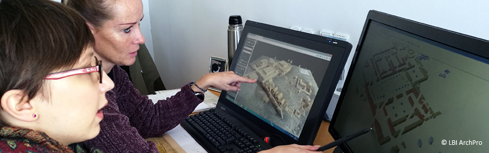
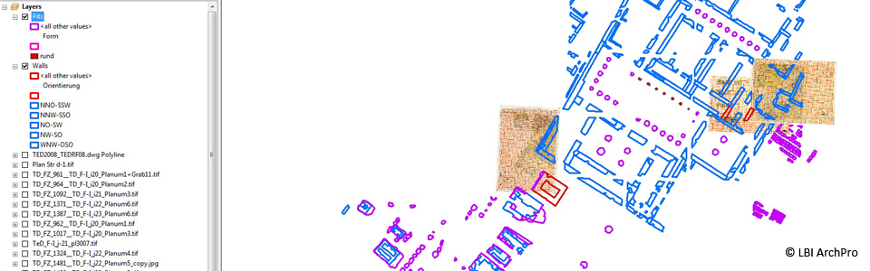
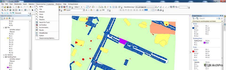
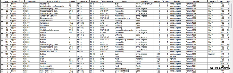
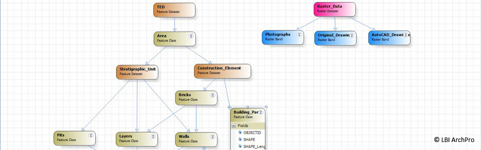
After receiving the analogous TED resources (mainly drawings of plana, details and sections), they are integrated, georeferenced and digitized in ArcGIS 10.2 according to common practice. Besides that, a database for data and metadata will be established. At the same time, the standardization and integration of digital TED resources (photos, maps) will be done according to the digitization concept. During this process, the homogenization of all data by using international standards of data organization is necessary.
Step 2: Development of a GIS based 4D Archaeological Information System (AIS)
For a spatial-temporal analysis of the digitized excavation data a link to the digitized information in GIS is necessary. Furthermore, the AIS will be supplemented with a stratigraphic sequencer (HMC+) with integrated time-model, with a corresponding stand-alone 3D viewer to visualize the stratigraphic sequence, and with the visualization tool Arch4D-Inspector. To meet the demand, these software packages will be developed within the project. The existing software HMC is a tool for the correct generation and editing of a stratigraphic sequence. For the new HMC+, work is being done towards the integration of an interval-based time-model to link different time designations with the stratigraphic sequence as well as a consistent representation of temporal information. Through the implementation of groupings, complex matrices will be simplified and structured hierarchically.
The first version of the AIS integrable 3D-Viewer is completed and allows the depiction of volumetric stratification models. Furthermore, a web based viewer allows the visualization and annotation of point-clouds and a suitable 3D navigation.
The developed Arch4D-Inspector is able to visualize different 3D hypotheses and to link them with the base-data of the reconstruction. The software can be used for the understandable web-based presentation of hierarchically and temporally structured reconstruction models. In the future the program should help to locate and investigate more easily spatio-temporal contradictions and/or intersections by 3D depiction of different models of interpretation and reconstruction.
Step 3: Virtual reconstruction and visualization
After digitizing the excavation data they are imported into ArcScene 10.2 for the 3D visualization of the volumina. By using this software, it is possible to depict the situation as it was in 1979/80 during the excavation on the basis of single bricks, but also to achieve a complete reconstruction of the place as it looked during its usage in antiquity according to the walls. This, together with archaeological background knowledge, forms the basis for recreating the walls up to their original heights so that complete buildings can be virtually rebuilt.
A further workstep is the 3D visualization of tomb constructions and a cellar made out of mudbricks. To achieve a more detailed result, especially concerning the tomb vaults, it is reconstructed with the Software SketchUp. Next, these models can be integrated into ArcScene within a separate shapefile for a maximum amount of information.
Finally, rendered films, real time applications and augmented reality applications are created for a full 3D experience.