

Surveys
2010
A first small-scale prospection project in the framework of the LBI ArchPro initiative was carried out between May 17th and 21st 2010 at Herregården in Larvik, a wooden manor house with adjacent garden from the baroque era. A total area of about 0.5 ha divided into 10 subareas was surveyed using a single channel GPR system. In addition the manor house and its surrounding area have been documented using a terrestrial laser scanner. Various features visible in the GPR data represent most likely remains of the baroque garden.
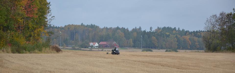
In autumn 2010, between August 30th and September 24th the first large-scale archaeological prospection campaign for the Case Study Vestfold was conducted by a team of the LBI Archpro in cooperation with the Norwegian partners from NIKU and Vestfold fylkeskommune. This first campaing took place in the region of Larvik in Vestfold county. At the sites of Kaupang, Lunde, Tjøllingvollen and Aske large-scale motorized GPR and magnetometer measurements were conducted and a total area of 27 ha were covered with GPR measurements and 26 ha with magnetic devices. In particular the surveyed areas at at Lunde/Tjøllingvollen showed a large number of archaeological structures. Amongst others a considerable number of overploughed grave mounds, a field apparently containing more than 900 cooking pits and two boat-shaped anomalies (possibly graves) have been discovered.
2011
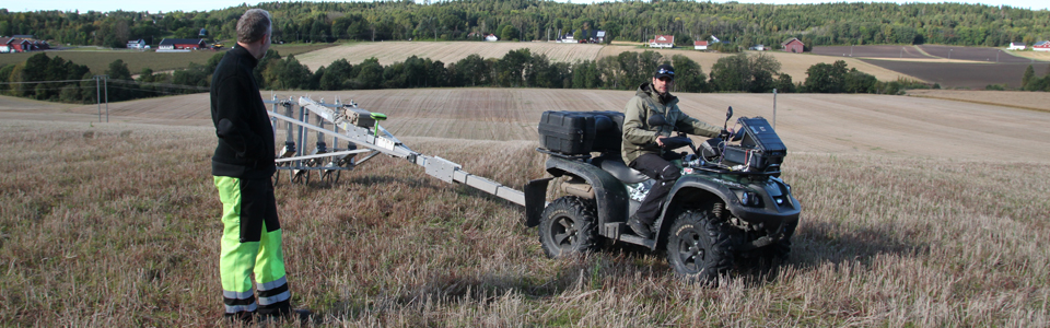
In 2011 two campaigns of fieldwork have been conducted in the framework of the Case Study Vestfold. During May (2nd - 6th) a first short survey campaign took place at the site of Kaupang, thought to have been Norway's oldest proto-urban settlement. This site had already been covered with GPR and magnetics in autumn 2010 but problems with the data positioning accuracy led to the decision to repeat the survey in order to obtain data of highest quality for this important site. A total area of 5 ha was surveyed within a week. The entire accessible settlement area could be mapped in high resolution.
The second campaign in 2011 was carried out between September 10th and October 7th. The main focus was on large scale magnetometer surveys at the area north of Kaupang as well as at the site of Berg, where in overall an area of more than 1.5 square kilometres were covered. Furthermore, two motorized GPR devices (MIRA and SPIDAR) have been used to survey selected areas on the basis of the earlier magnetic prospection results. A total area of 28 ha could be surveyed using high-resolution GPR measurements. A possible Iron Age boat house at the site of Berg/Manvik and several new burial mounds in the area north of Kaupang have been the discovered.
Additionally, some selected areas around the well known Viking Age burial mound at Gokstad were surveyed in the framework of the Gokstad revitalized project (University of Oslo, Museum of Cultural History). This first test survey led to the discovery of traces of a Viking Age settlement and burials as well as to the setup of a collaborative working group consisting of partners of the LBI ArchPro in order to fully investigate the landscape surrounding the Gokstad mound using geophysical prospection methods.
2012
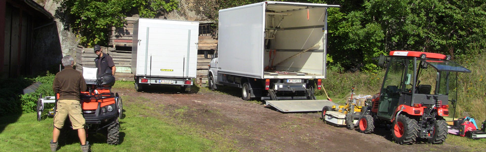
In 2012 two fieldwork campaigns (April 21st - May 16th and September 8th - 30th) of six weeks in total had been carried out in Vestfold. The fieldwork in spring 2012 had the main focus on the surveying of areas in the vicinity of Gokstad burial mound in the framework of the "Gokstad revitalized project" and was carried out in collaboration between the LBI ArchPro partners NIKU, ZAMG and Vestfold fylkeskommune. Two GPR array systems and one magnetic system had been deployed at Gokstad. Additionally several other areas near the sites of Kaupang and Tjøllingvollen have been surveyed using magnetics in order to progress with the intended complete coverage between these two sites.
In September 2012 the main aim was to finalize the magnetic surveys in the area of Tjøllingvollen and to continue with the full coverage of the same areas using GPR. Some areas at Gokstad, which had not been accessible during spring time, have also been surveyed, resulting in the completion of the fieldwork at Gokstad.
During the two fieldwork campaigns in 2012 a total area of 128 ha was covered with magnetics and over 65 ha using GPR.
2013
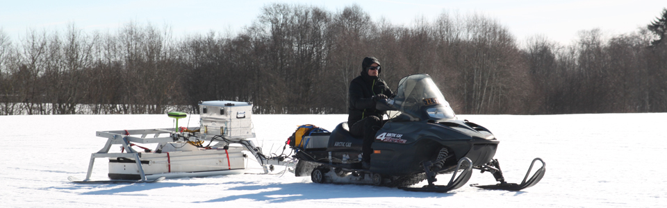
Between March 6th and 12th a pilot study was conducted in Vestfold using a motorized SPIDAR GPR system adapted for use on snow-covered surfaces. Instead of wheels the SPIDAR system was mounted on skis, pulled by a snowmobile. A hard layer of 10-20 cm thick névé crust provided ideal surveying conditions. An area of 22 ha was mapped around the Viking Age burial site of Borre and led to the discovery of a large Viking Age farm building.
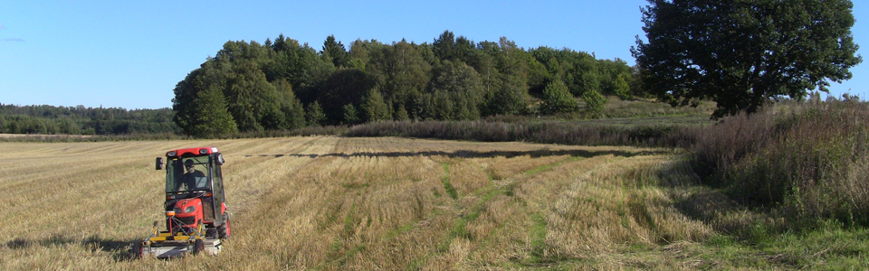
During a second fieldwork campaign in between September 23rd and October 15th the focus was set on large-scale GPR surveys between the sites of Kaupang and Tjøllingvollen in order to cover most of the areas previously mapped with magnetics using high-resolution GPR devices. A total area of just under one square kilometre was covered within three weeks of fieldwork using a SPIDAR and a MIRA system. After a first quick analysis of the data it appears as if many more structures of archaeological interest are visible in the GPR data compared to the magnetic data. The final processing and subsequent archaeological interpretation of the data is work in progress.