

Surveys
2010
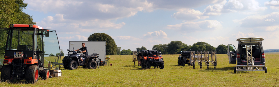
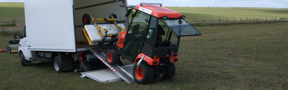
Between July 5th and July 23rd 2010 the first geophysical archaeological prospection field campaign for the LBI case study Stonehenge, as part of the Stonehenge Hidden Landscapes Project, was conducted by LBI ArchPro under the direction of the British LBI partner organization VISTA of the Institute of Archaeology and Antiquity at the University of Birmingham. Additional staff and students from the Universities of Bradford and St Andrews, as well as students from Vienna University participated in the fieldwork. The purpose of the case study is on the one hand the testing and development of novel measurement devices, the improvement of measurement methodology and the development and adaptation of corresponding data processing software, and on the other hand the large-scale collection of high-resolution survey data for subsequent archaeological interpretation and research. The 2010 fieldwork campaign at Stonehenge was of importance in regard to future planning of fieldwork campaigns, both logistically and in regard to the scientific results.
The size of the areas at Stonehenge covered with Ground Penetrating Radar (GPR) measurements in 2010 (32 ha) has been unprecedented in the field of archaeological prospection. In 2010 at Stonehenge 28 hectares of area were surveyed with magnetometer prospection. The discovery of a previously unknown hengyform monument only some 800 metres northwest of Stonehenge was the scientific highlight of this campaign.
2011
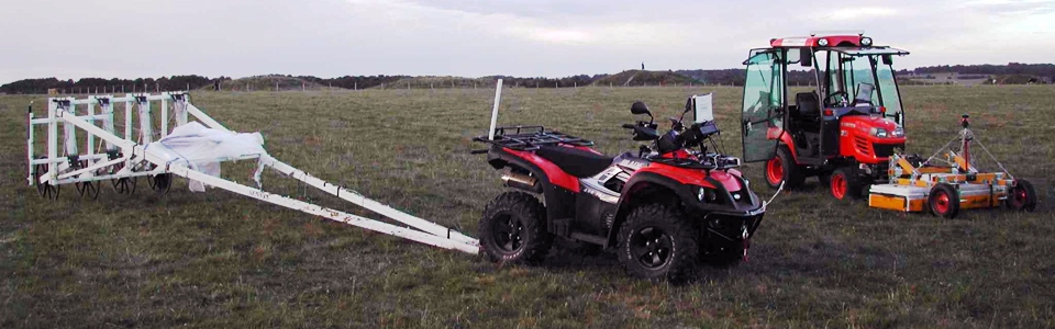
Between July 1st and July 24th 2011 the second geophysical archaeological prospection fieldwork for the Stonehenge Hidden Landscapes Project was conducted, again under the direction of the British LBI ArchPro partner organization VISTA, Institute of Archaeology and Antiquity at the University of Birmingham and with additional staff and students from the Universities of Bradford and St Andrews and Vienna University.
The coverage and resolution of the magnetic and GPR data recorded at Stonehenge in July 2011 again has been unprecedented in the field of archaeological prospection. Especially the developed fieldwork routine led to the survey coverage of some 2.2 square kilometers of the Stonehenge landscape, exploring the area between the Cursus and Stonehenge itself. In addition to the geophysical survey some Terrestrial Laserscanning (TLS) measurements have been carried out in order to generate a dense and highly accurate digital terrain model of the project area. The discovery of some new hengyform structures near Stonehenge through magnetometer and GPR prospection resulted in ongoing discussion of the sacred landscape. Numerous further structures of archaeological and historical interest – like pits and linear structures – have already been noted to exist in the data.
2012
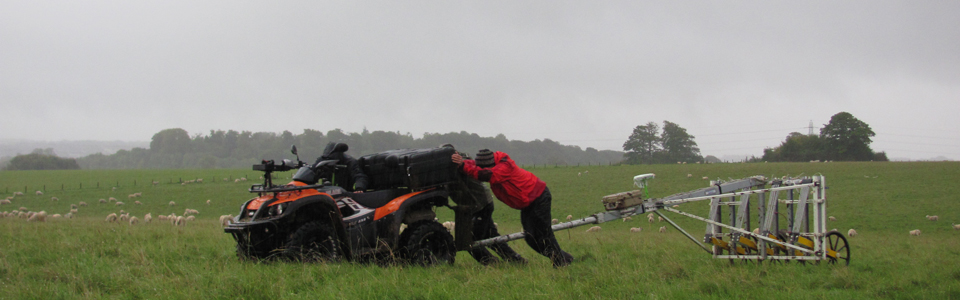
In 2012 two field campaigns were carried out in order to cover most of the proposed project area with magnetometry. From April 10th to 27th 2012 the third field campaign for the Stonehenge Hidden Landscape Project has been carried out, in collaboration with and under direction of VISTA, University of Brimingham. Using two motorized magnetometry systems areas south and west of the previously surveyed space could be measured, covering a total of 1.75 square kilometres.
Between October 1st and October 25th 2012 the fourth fieldwork for the Stonehenge Hidden Landscape Project took place. In addition to some fields that could not be finished in spring, the entire area east of the Cursus and the King Barrow ridge as far as to Durrington Walls was prospected with magnetometry using three motorized systems. A fourth system was assembled and set into operation during that campaign. In total an area of 2.5 square kilometres has been surveyed in October 2012, in which innumerable archaeological structures have been detected. All together a seamless area of 428 hectares of highly detailed and accurate magnetometry data was acquired in 2012 at Stonehenge. In 2012 also some more TLS measurements have been carried out to cover more of the project area.
2013
From February 16th to 28th 2013 a small team of the LBI ArchPro conducted a TLS survey in Stonehenge in order to take measurements in the east, south and west of the project area. Except for some small areas which could not be surveyed because of growing crop and inaccessible fields the whole project area could be covered during this campaign, producing a seamless DTM of about 12 square kilometres.
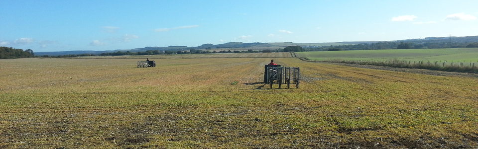
From August 28th to September 27th 2013 a completing geophysical field campaign has been carried out for the Stonehenge Hidden Landscape Project and the accompanied LBI ArchPro case study in order to wrap up the residual rest of the unmeasured project area. We came back to Stonehenge with two motorized magnetometry systems, two SPIDAR GPR systems and one our MIRA systems. In almost four weeks of fieldwork 1.15 square kilometres of high-resolution GPR data and almost 2.3 square kilometres of magnetic data have been collected. The areas prospected by GPR include the Lesser Cursus field, the area between the Cursus and the Avenue and large parts of Durrington Walls as well as the Cuckoo Stone field. With magnetometry the residual areas east to the Winterbourne Stoke barrow group and west down to the river Avon could be surveyed. Again the newly prospected fields show numerous archaeological structures in unparalleled detail and accuracy.
2014
The 2014 campaign was carried out from July 30th to August 5th. During this short field campaign a small LBI ArchPro team surveyed the Monument field covering the immediate surrounding of Stonehenge itself with both GPR and magnetics in the highest resolution possible. In addition, two smaller areas south of Durrington Walls and east of Woodhenge have been surveyed with GPR in order to fill up gaps in the previous data. During this campaign a total area of about 19 ha with magnetics and some 21 ha with GPR has been prospected.