


Ground penetrating radar
GPR surveys provide under suitable ground conditions detailed three dimensional information about approximate depth, shape and location of archaeological structures at a high spatial resolution. They can be used to detect for example stone structures (walls or postholes containing stones), interfaces caused by pits and trenches, cavities and differences in soil humidity.
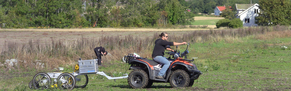
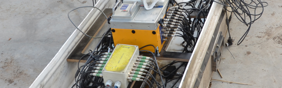
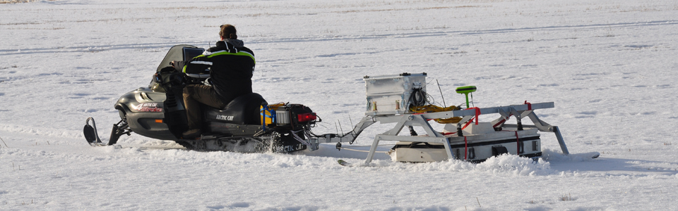
Until recently GPR surveys have been limited to relatively small-scale applications due to the lack of availability of multichannel antenna arrays. The common use of single antenna systems with often inappropriately large profile spacing chosen results mostly in low-resolution data images. New multichannel GPR arrays, which have been developed over the past years, appear on the market and are being tested for archaeological prospection. They permit considerably increased spatial coverage with simultaneously greatly improved sample spacing, resulting in images of the subsurface of unprecedented resolution and structural clarity. Large-scale GPR prospection is conducted using various multichannel GPR arrays of fixed frequency, such as the 16 channel 400 MHz MALÅ Imaging Radar Array (MIRA) with 8 cm channel spacing.