


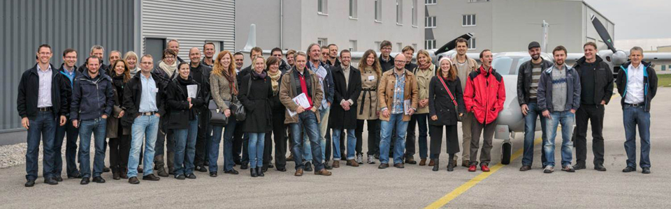

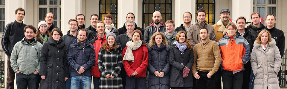
Partners of the interdisciplinary research project ArchPro Carnuntum
Project coordination
 |
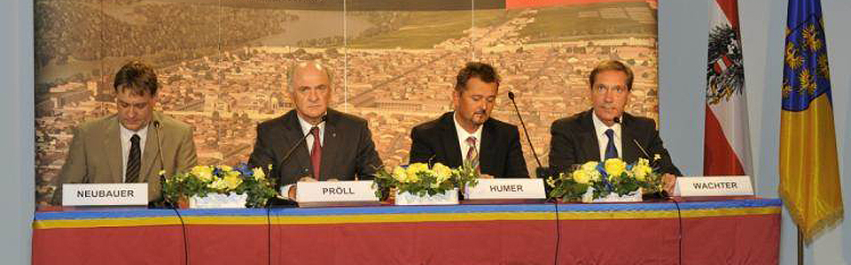
The coordination of the research project ArchPro Carnuntum is the responsibility of the Cultural Department of the Province of Lower Austria together with the Ludwig Boltzmann Institute for Archaeological Prospection and Virtual Archeology.
The LBI ArchPro is a research institute of the Ludwig Boltzmann Society and was founded in 2010. The institute carries out its research activities together with international partner organizations and aims to establish a network of scientists who jointly conduct interdisciplinary archaeological research programs to develop large-scale, efficient and non-destructive methods of discovery, documentation, visualization and interpretation of the European archaeological heritage. The main partners of the institute, which is located in Vienna, are: the University of Vienna (Austria), the Vienna University of Technology (Austria), the Central Institute for Meteorology and Geodynamics (Austria), the Austrian Academy of Sciences (Austria), Airborne Technologies (Austria), 7reasons Medien GmbH (Austria), the Roman-Germanic Central Museum in Mainz (Germany), the University of Birmingham (United Kingdom), Vestfold Fylkeskommune (Norway), the Norwegian Institute for Cultural Heritage Research (Norway) and the Swedish History Museums (Sweden). For the needs of the project, prototypes have been developed further by the LBI ArchPro and the partners ZAMG Archeo Prospections® (Austria), Eastern Atlas (Germany), Pico Envirotec (Canada), University of Ghent (Belgium), Geocarta (France) and MALÅ Geoscience (Sweden). The large amount of data generated during the measurements were evaluated by the project partners using specially developed methods and visualized as georeferenced digital images of the detected magnetic or electrical properties of the subsurface within a Geographical Information System (GIS). The integrated archaeological interpretation of the prospection results was carried out by the project partners VIAS at the University of Vienna (Austria), the Austrian Academy of Sciences (Austria), the Roman-Germanic Central Museum in Mainz (Germany) and the University of Birmingham (United Kingdom). |
Scientific project partners
ZAMG Archeo Prospections®The interdisciplinary team of Archeo Prospections® at the Central Institute of Meteorology and Geodynamics deals with the development and application of modern geophysical prospection methods. Archeo Prospections® is active worldwide in the field of contract research and has successfully explored the near surface of many archaeological sites by means of non-destructive tests with magnetometer, ground radar, seismic and electrical ground resistance and has generated valuable archaeological information. | |
VIAS - Vienna Institute for Archaeological Science, University of ViennaThe Vienna Institute for Archaeological Science at the University of Vienna is specialized in the development of geophysical prospection, geodetic methods and photogrammetry for archaeological applications. It works closely with the aerial archive of the Institute for Prehistory and Historical Archeology of the University of Vienna for the evaluation of aerial photographs and the integrated archaeological interpretation of prospection data. | |
 |
RGZM - Roman-Germanic Central Museum in MainzThe Roman-Germanic Central Museum in Mainz is a worldwide research institute for archeology. The goal is to gain insights about human life and culture in the past. As a top research institute with historical and cultural sciences, the RGZM has the necessary expertise to evaluate findings of all periods and to put them into a wider context. |
Airborne TechnologiesAirborne Technologies specializes in the integration of measurement systems and services in the field of LiDAR, Airborne Imaging Spectroscopy, Thermal Imaging and other novel technologies. Airborne Technologies offers considerable experience in the planning and execution of multi-sensor data acquisition missions resulting in innovative, high-quality geo-information products adapted to specific requirements. | |
University BirminghamThe Visual and Spatial Technology Centre at the University of Birmingham is dedicated to the research and application of methods for the spatial analysis and visualization of archaeological sites and landscapes. VISTA is supported by IBM and is one of the best-equipped centers worldwide for virtual reality visualizations for archaeological issues. | |
ORBit - University of GhentThe interdisciplinary research group ORBit of the University of Ghent deals with the development and application of spatial soil inventory procedures. In addition to soil research, the research group has specialized in the application of geophysical measurement methods, such as motorized ground radar and electromagnetics, for in-depth ground-covering soil investigations. | |
Austrian Academy of SciencesThe Institute for the Study of Ancient Culture (IKAnt) covers a wide cultural-historical range with studies reaching from the Archaic to the Byzantine period and includes the entire Mediterranean region, the Roman Danube provinces, Iran, Central Asia as well as the Indo-Iranian borderlands. The Institute for Oriental and European Archaeology (OREA), founded in 2013, covers essential prehistoric and early historical cultural developments from the Orient to Europe. Researchers cover a wide range of subjects from Prehistoric Archaeology, Egyptology, Sudanese Archaeology, Near Eastern and early Greek Archaeology to various philologies. The Austrian Archaeological Institute (OeAI) is an extramural research institute of the Federal Ministry of Science, Research and Economy. The research sites of the OeAI are concentrated in Egypt and the Greco-Roman cultural regions in Europe and the Mediterranean, with consideration of the chronological and geographical peripheries. | |
GeocartaGeocarta is a leading French company offering high-resolution geophysical prospection for various fields of application (agriculture, raw material exploration, environmental management and archeology) and developing appropriate measurement systems and logistics. Geocarta specializes in large-area electrical ground resistance and magnetic field measurements. | |
MALÅ GeoscienceThe Swedish company MALÅ Geoscience is a world-leading manufacturer of ground-penetrating radar systems. For special applications such as archeology, MALÅ Geoscience cooperates with the LBI ArchPro to develop efficient and high-resolution radar antenna arrays (MIRA) for the motorized and GPS-controlled large-area measurement in Roman city areas. |
The research project ArchPro Carnuntum is supported by
7reasons Medien GmbHThe team of 7reasons is dedicated to the production of film and multimedia productions and consists of specialists in the fields of virtual 3D reconstruction and animation as well as application programming for interactive applications. 7reasons is specialized in the presentation and explanation of scientific research results in exhibitions, documentation, print media and interactive media. | |
Riegl Laser Measurement Systems GmbHThe Austrian company Riegl Laser Measurement Systems is a leading international manufacturer of 3D laser scanners for aircraft and terrestrial use in a very wide range of applications. Riegl LMS cooperates with the LBI ArchPro in the efficient application of laser scanner technology for use in archeology. | |
Wikitude GmbHWikitude supported the LBI ArchPro in the visualization of the gladiatorial school. The result can be viewed using the Augmented Reality Software Wikitude World Browser on smartphones or tablet PCs. The Wikitude World Browser is a mobile application that embeds location-specific content into the camera image of the mobile phone or iPad. The Wikitude World Browser is available on iPhone, iPad, Android, BlackBerry and Symbian. | |
Pico Envirotec Inc.The Canadian company Pico Envirotec is the world's leading producer of cesium magnetometer systems for geophysical prospection measurements from the air and on the ground for raw material testing, environmental monitoring and archaeological applications. Pico Envirotec cooperates with the LBI ArchPro in the development of high-resolution multi-sensor systems for motorized applications. | |
Institut Dr. Foerster GmbH & Co. KGThe German company Foerster is the world's leading manufacturer of fluxgate magnetometer systems (Ferex) for minerals, various magnetic field measurements and archaeological prospection. Foerster cooperates with the LBI ArchPro in the development of efficient motorized multi-sensor systems. | |
Eastern Atlas GmbH & Co. KGThe German company Eastern Atlas offers services in the area of geophysical prospection measurements for archaeological and geophysical engineering applications. Eastern Atlas cooperates with the LBI ArchPro in the development of new data acquisition systems for magnetic field measurements. |