
Methods
Based upon the huge variety of already existing datasets of this area it is obvious that this area suits perfectly for testing and developing the proposed tools for complete integrated interpretation of archaeological landscapes. It is also the declared aim to test existing results especially gained by geophysical surveys in using geoarchaeological methodology. For this purpose test excavations and coring surveys have been already made.
Methods applied and datasets used so far include
- Aerial Archaeology (vertical and oblique)
- Hyperspectral imaginary
- Airborne laser scanning
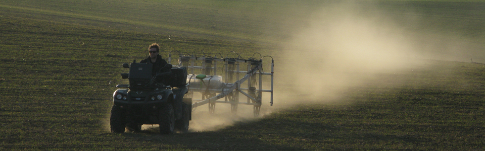
- Airborne magnetometry
- Terrestrial laser scanning
- Soil chemistry (pXRF, Phosphates)
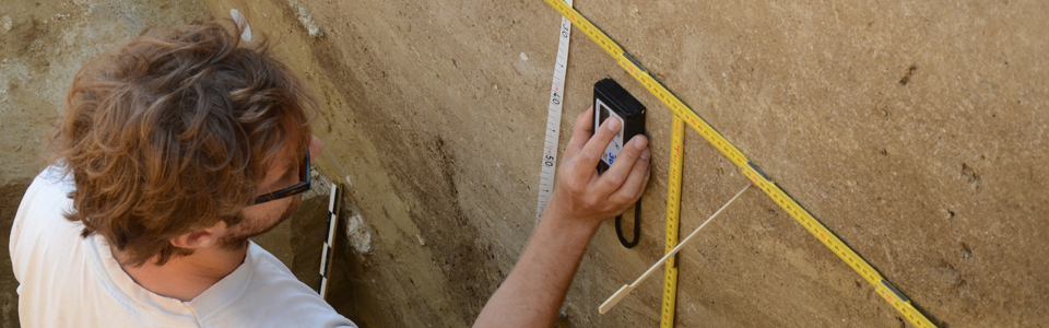
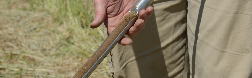
- Geomorphological investigations
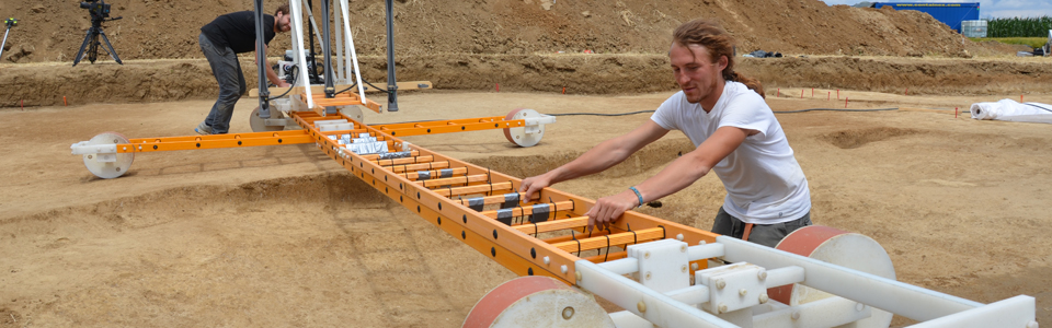
- Large-scale magnetic surveys
- Ground penetrating radar surveys
- Magnetic susceptibility measurements (local)
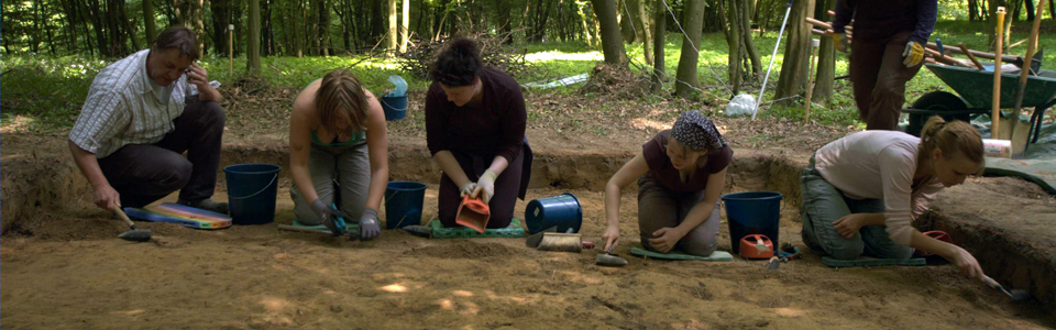
- Excavations
- Fieldwalking
- Historical map analysis
- Historical aerials analysis and surface reconstruction