
Surveys
2011
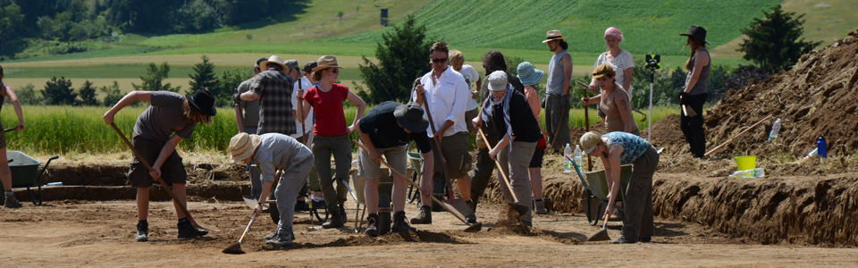
2011 In this year the active fieldwork in the Case study area started with small magnetic and GPR surveys at Ochsenberg (Early Bronze Age hillfort) and Türkenschanze (presumably Iron Age hillfort). In May a test excavation was carried out at the Ochsenberg to collect soil data for further interpretation of the site. The archaeological Material which was revealed allowed the dating of the site to the Early Bronze Age.
x Close
KreuttalMagnetic susceptibility measurements in 2013. Magnetic susceptibiliy survey. Click to enlarge. | |
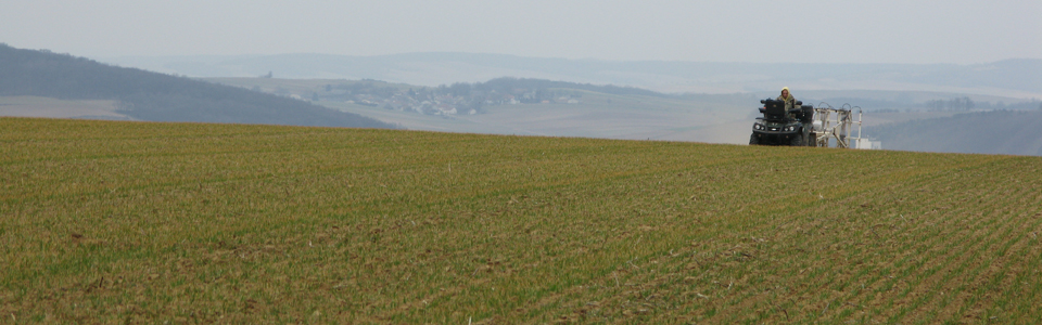
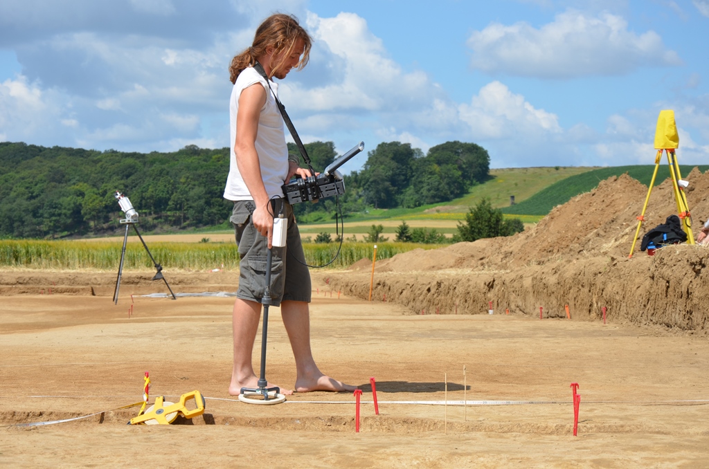
In late summer a first motorized survey was organized, which took place in the Northern part of the CS-area around the village Hornsburg. During the next years the focus will be set upon this area. Within this survey coverage of nearly 90ha was achieved. Additionally the survey was used to test and develop the hardware of the used carts.
2012
Due to excellent weather conditions field walking and ALS test walking took place in wintertime. During these surveys some anomalies detected by ALS were visited and classified. At the Ochsenberg another test excavation was organised in cooperation with the University of Vienna. Sampling procedure for future projects were tested on site.
A second motorized geophysics campaign started in March covering mostly areas around Hornsburg. In October a third campaign was carried out surveying the area between Hornsburg and Kreuzstetten in the most northern part of the CS-area. So fare 2.3 km2 are geophysically prospected. In November field walking surveys were made in the same area.
x Close
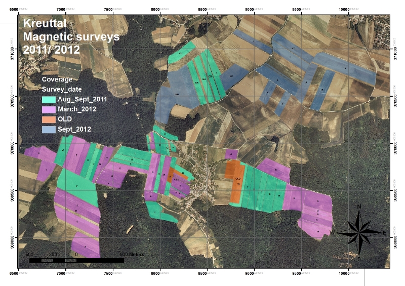
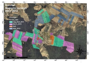
KreuttalCoverage map magnetic prospection 2012. Magnetometry coverage map. Click to enlarge. | |