

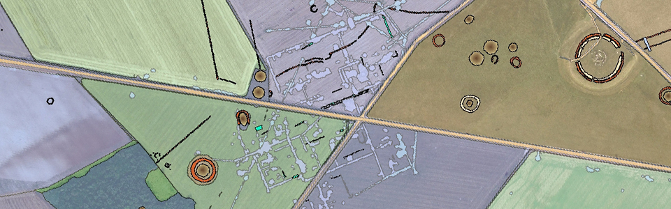
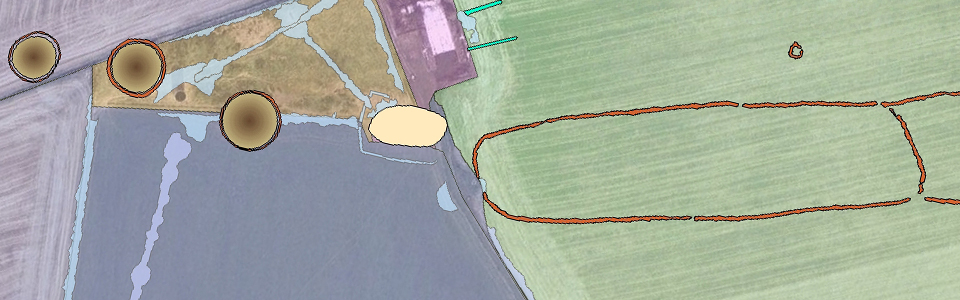
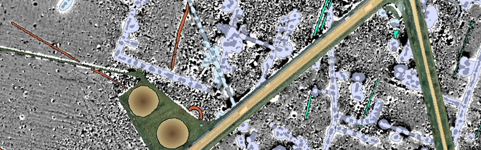
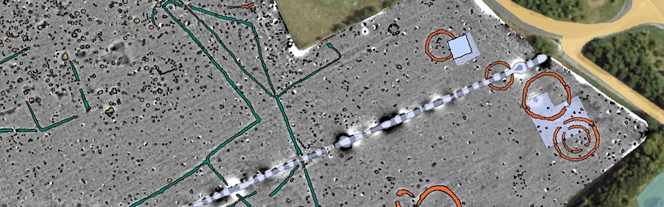
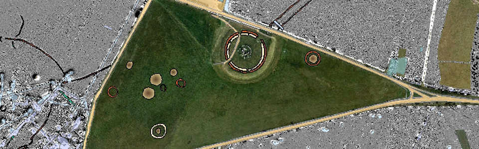
Archaeological data interpretation
The research programme produces new complex datasets of archaeological landscapes. These demand adequate data management and an integrated archaeological interpretation. Therefore, novel concepts of dynamic analysis including temporal relations and attributes have to be developed. The main challenge will be the transformation of the acquired and processed complex physical prospection data into interpretative archaeological information that is accurate, readable and ready to use for other archaeologists.
Based on these needs an integrative platform will have to be developed permitting close collaboration on data management and integrated archaeological interpretation. The main platform will be a GIS-based archaeological information system, extended by appropriate, tools for dynamic visualization and spatial analysis for integrated archaeological interpretation, data archiving, data retrieval and long term maintenance.
While data analysis and interpretation in GIS environments have become commonplace in professional practise, are the development and use of intelligent feature extraction and semi-automatic interpretation algorithms and advanced visualization tools still in their infancy.