

Airborne imaging spectroscopy (AIS)
Aerial archaeologists conventionally focus their interest on the visible and near-infrared (NIR) radiation. Using analogue film or digital sensors, these visible as well as the NIR bands of the spectrum can be recorded within up to three bands with bandwidths of roughly 100 nm. However, each plant is showing a characteristic signature within the whole spectrum depending on its type, environmental conditions and stress due to the archaeological structure beneath. This characteristic spectral "fingerprint" can only be crudely visualized by the three bands of conventional imaging. Therefore, current standard photographic techniques do often not allow the detection of crop-marks if the contrast exhibited to the surrounding matrix is too low within the range of the visible or NIR spectrum. Using airborne imaging spectroscopy (AIS - also referred to as airborne hyperspectral scanning) devices, there is a high potential to overcome the limitations of conventional aerial photography and significantly enhance the detection of archaeological structures even under less favourable conditions.
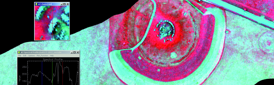
Commercial AIS systems have become available only during the past decade. They measure upwelling electromagnetic radiation (reflected and/or emitted) in a multitude of small spectral bands of only a few nanometres width. Since all of these bands can be analysed individually, a detailed investigation of those parts of the plant's spectral signature, which are most crucial for signs of stress, is possible.
In this way, imaging spectroscopy data does have the potential to overcome the limitations of conventional aerial photography, strengthening the understanding of the particular phenomena aerial archaeologists try to visualize, and significantly enhancing the possibilities for the detection of archaeological structures even under less favourable conditions. However, AHS and its archaeological application is still a new technology requiring further systematic investigation. Data acquisition and systematic evaluation concentrates on selected areas, which are fully covered by geophysical prospecting in order to compare the success rate of AIS with an independent control measure.