
Motivation
x Close
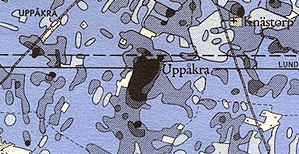
UppåkraPhosphate map of Olof Arrhenius 1929-1934 Olof Arrhenius' phosphate map. Click to enlarge. | |
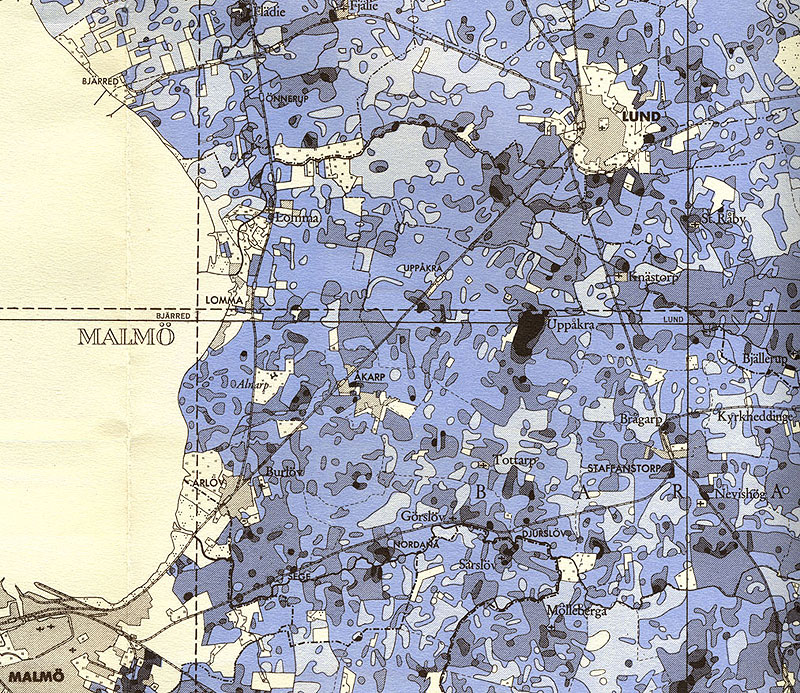
Uppåkra is located in the agriculturally used, open Scanian landscape, offering ideal conditions for large-scale motorized geophysical archaeological prospection. Past archaeological investigations in form of spatially limited excavations, corings, metal detector surveys, first geophysical prospection tests measurements as well as an agricultural phosphate mapping had shown that the archaeological site of Uppåkra had extended over approximately 40-60 hectares.
In 1997 Prof. Lars Larsson initiated first comparative geophysical prospection tests at Uppåkra. In particular the results obtained by the team from the University of Kiel have been promissing, showing numerous anomalies in the magnetic prospection data and good signal penetration conditions for the ground penetrating radar method.
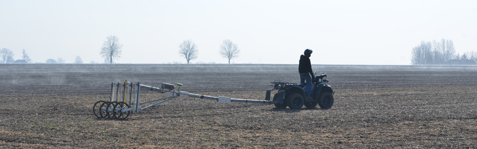
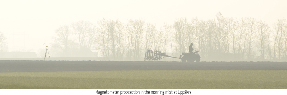
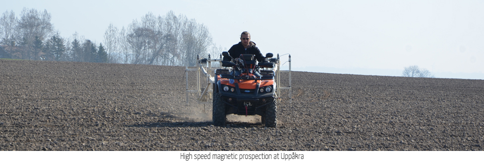
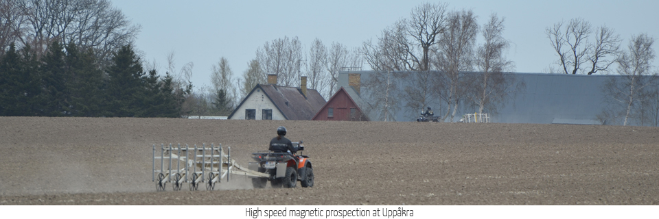
In order to develop and test novel motorized magnetometer and ground penetrating radar systems for efficient large-scale archaeological prospection the archaeological site of Uppåkra and its surrounding landscape has been selected as case study, amongst several other case studies, such as the landscape around Stonehenge (UK), the UNESCO world Cultural Heritage Site Birka-Hovgården (Sweden), or the Roman town of Carnuntum in Austria. In addition to high-resolution geophysical archaeologcial prospection latest remote sensing methods in form of airborne laser scanning and hyperspectral scanning are tested in selected case studies.
The purpose of the case study is on the one hand the test and development of novel measurement devices, the improvement of measurement methodology and the development and adaptation of corresponding data processing software, as well as on the other hand the large-scale collection of high-resolution survey data for subsequent archaeological interpretation and research: the collected data will serve the development of novel processing algorithms for integrative archaeological interpretation and landscape archaeological research.