
Surveys
2010
The first survey in the framework of this case study was conducted between August 19th - 26th 2010. Over the course of seven days in total 10 hectares of area were covered with high-resolution GPR measurements and 40 hectares with magnetometer measurements. The data show a great number of clearly visible archaeological structures, which to a large extent will be archaeologically interpretable. Numerous pits, postholes and accumulations of stones can be seen in the data. A clear delimitation of the prehistoric settlement site Uppåkra to the south/south-east is visible in the magnetic data.
Fieldwork report 2010 (PDF, 143 kB)
2011
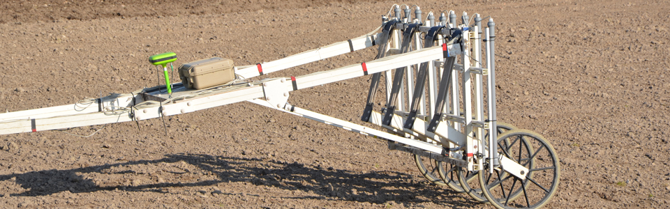
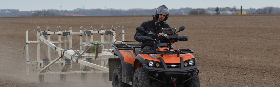
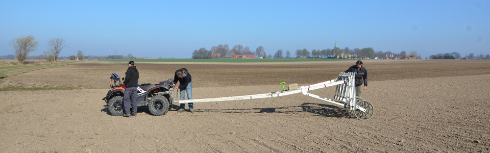
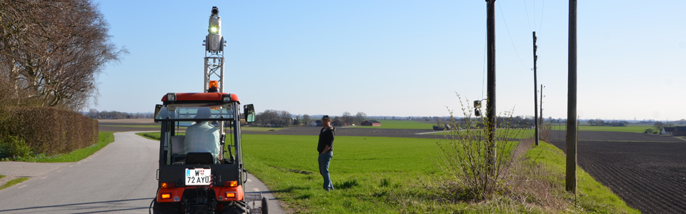
Between April 11th and April 30th 2011 the second fieldwork campaign was conducted at Uppåkra, resulting in a total coverage of 175 hectares surveyed with magnetometer prospection. Two motorized magnetometersystems were used in parallel, carrying 5 respectivley 10 Förster probes. A high-resolution GPR survey of the lawn area west of Uppåkra churchyard and of the paddock north of the church were as well carried out. Using a terrestrial laser scanner (Riegl) mounted on top of a rigg in front of a small tractor the central area of the site was scanned.
2012
On April 18th 2012 a high-resolution full-waveform airborne laser scanning survey was flown by LBI ArchPro partner Airborne Technologies covering some 40 square kilometres centred around Uppåkra, and on July 24th 2012 a hyperspectral survey was flown covering Uppåkra and its vicinity. Both surveys were funded by a grant from Torsten Söderberg's Foundation. In September 2012 (3-7) further magnetometer prospection measurements were conducted at Uppåkra in order to complete the survey in the central area. With permission from the County addministration board soils samples to investigate the cause of magnetic anomalies were taken in a field some 500 m south of Uppåkra church using a manual auger.
In September 2012 further magnetometer and GPR prospection were conducted in the areas west and south-west of Uppåkra church, resulting in a total coverage of 197 hectares. Additionally magnetic susciptibility measurements were conducted of anomalies that had been discovered in 1997, excavated in 2000 and remapped in 2010.