


Three-dimensional exploration with ground-penetrating radar arrays
With the help of ground-penetrating radar surveys, it is possible to detected areas that were not occupied during the Roman period. This is of importance for the developmental planning of the modern settlement of Carnuntum.
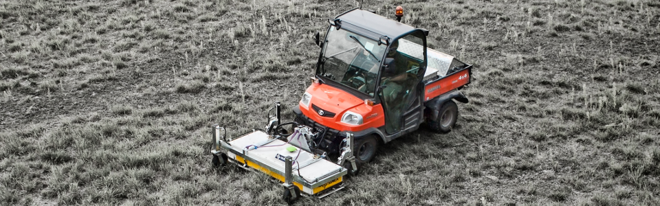
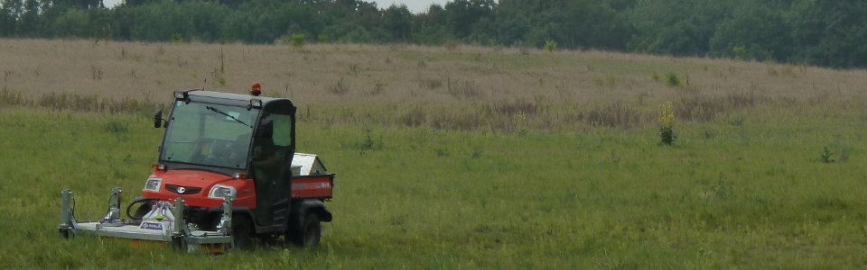
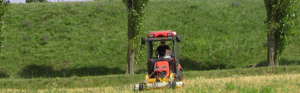
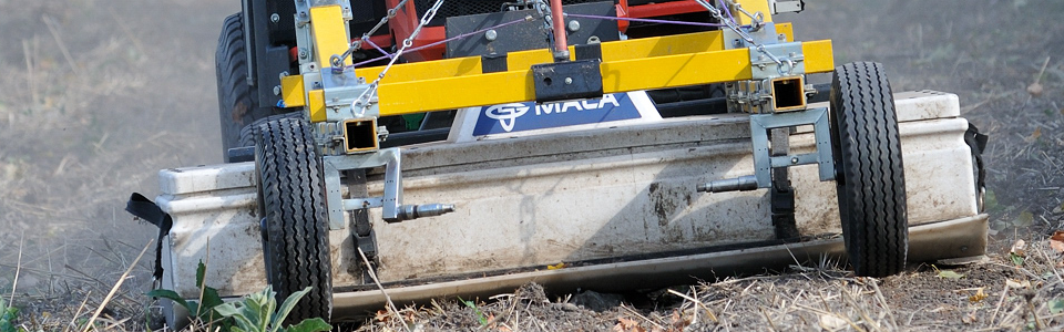
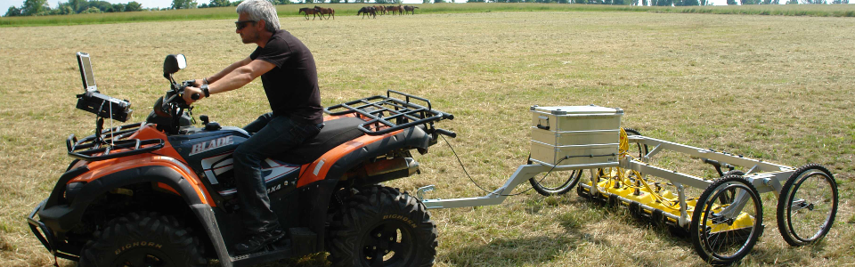
The novel ground-penetrating radar (GPR) systems used and improved by the LBI ArchPro together with its international partners, are highly efficient for near-surface geophysical prospection in unprecedented resolution and the detection of buried archaeological remains. The GPR systems are used to generated three-dimensional data volumes and images of structures in the subsurface down to several meters depth. The unique GPR systems used for archaeological prospection at Carnuntum is based on a MALÅ Imaging Radar Array (MIRA) system from MALÅ Geoscience, permitting the ultra-high resolution mapping of up to 5 hectares per day.
The MIRA system offers 16 GPR channels installed in a box. Each channel records the reflected electromagnetic energy of high-frequency GPR pulses (400 MHz) that are emitted into the subsurface. The antenna box is attached to the hydraulic front mount of a small tractor or an off-road multi-purpose vehicle that is driven across the survey area in a relatively regular pattern at speeds of up to 15 km/hr. The electromagnetic pulses emitted by the GPR transmitter antennas are reflected in the subsoil from stones, remains of walls, floor surfaces of Roman buildings or interfaces between different layers of soil. The GPR receiver antennae record the reflected electromagnetic waves. With the help of the time that has passed between transmission of the GPR pulse and the recoding of the reflections - time that is measured in nanoseconds - it is possible to approximately determine the depth of the reflecting structures in the ground. The subsurface at Carnuntum has been imaged with the help of the 400 MHz antennae array, depending on the local ground conditions, and with an investigation depth of up to 3 m, with a spatial sampling resolution of 8 × 4 × 2 cm. The important centimeter-precise positioning of the GPR system has been achieved by means of a differential Real-time kinematic Global Navigation Satellite System (RTK-GNSS).
The GPR data acquired at such a high-resolution provides a three-dimensional survey result that is comparable to medical computer tomography. Images of the subsurface can be extracted from this 3D GPR data volume in the form of depth-slices for exploration and analysis by the archaeologists, who are, through the use of specially developed software tools, virtually excavating without turning a single piece of turf. It is possible to see in the data Roman buildings and architectural details, creating an image of previously-unknown structures that had been hidden in the ground. The generated data images form the basis of subsequent 3D data interpretations and reconstruction suggestions generated virtually on computers. The GPR images clearly show remains of walls, door slabs, stairs, bases of columns (on which possibly statues may have once been placed), water pipes, sewers, cellars, water basins, underfloor heating systems, screeds, sarcophagi and burials. They offer the archaeologist unprecedented insights into the remnants of the sunken Roman city of Carnuntum, without the need for extensive invasive archaeological excavations.